Fort Owen State Park
Fort Owen State Park

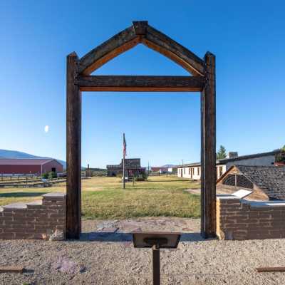
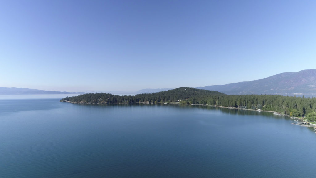
Travel 25 minutes south of Missoula, MT and into Stevensville, MT to Fort Owen State Park. Here you will find the remains of the oldest pioneer settlement in the State of Montana.
A beautiful place to visit, however, Fort Owen State Park is currently under major construction.


Wanting to visit?
Originally home to the first Catholic Church in Montana, founded by Father DeSmet in 1841, Fort Owen has a rich history and is listed in the National Register of Historic Places.
Here are some of our favorites when visiting Fort Owen State Park:
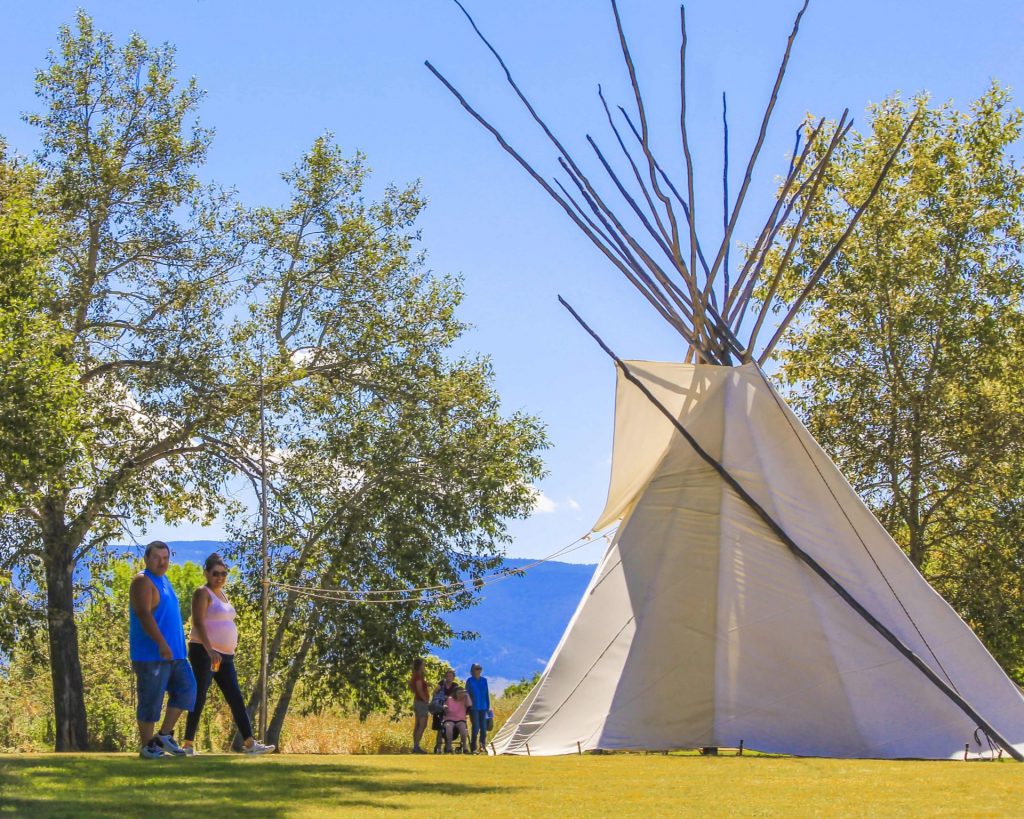
- Check out the museum!
- Capture the historical significance through photography!
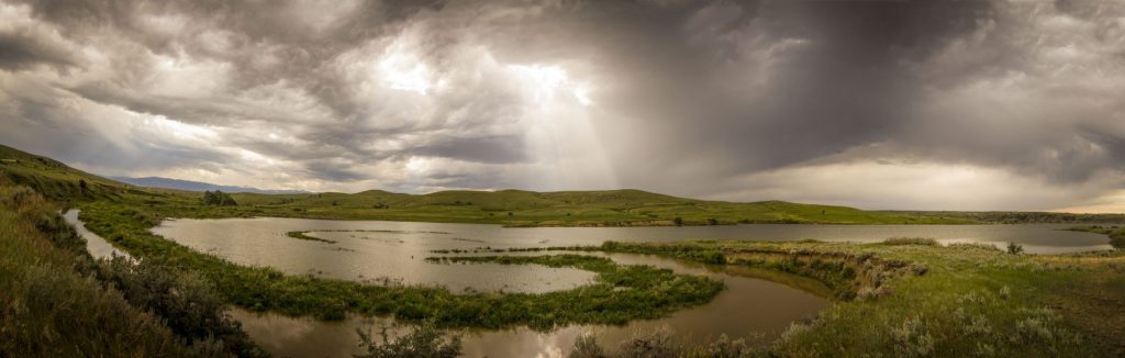
- Enjoy your picnic with amazing views.
- Don’t forget your binoculars if you plan to do any wildlife and bird watching!
- Visit the Lee Metcalf National Wildlife refuge just down the road.
- Visit nearby Stevensville and the St. Mary’s Mission.
- Plus so much more!
Park Activities
Park Features
Fort Owen served as an important trading hub for Western Montana for over 20 years. However, when the Mullan Road was built in 1863, connecting Fort Benton to Walla Walla, Washington, it became the main transportation route and bypassed Fort Owen, going north through Missoula instead. This property has passed through many hands, one acre surrounding the remains of the fort was given to the Fort Owen Historical Association in 1937. In 1956 they conveyed it to the state of Montana for one dollar.
In addition to its many firsts, it also was the first recorded land transaction in Montana and contains the oldest constructed buildings in the State of Montana. Today you can tour one of the barracks that served as John Owen’s home and library, see the outline of the fort’s walls, a reconstructed root cellar, the well-house and a historic cabin. The rooms in the east barracks feature period furnishings and artifacts and visitors will find interpretive signs and exhibits which detail the region's history.
")
Curious what other visitors have had to say about the park?

-
Park
March 1 - October 31: 9 a.m. - 6 p.m. daily
November 1 - February 28: Closed for the Winter
-
Location
99 Fort Owen Ranch Rd Stevensville, MT 59870
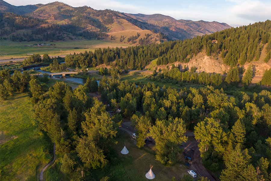
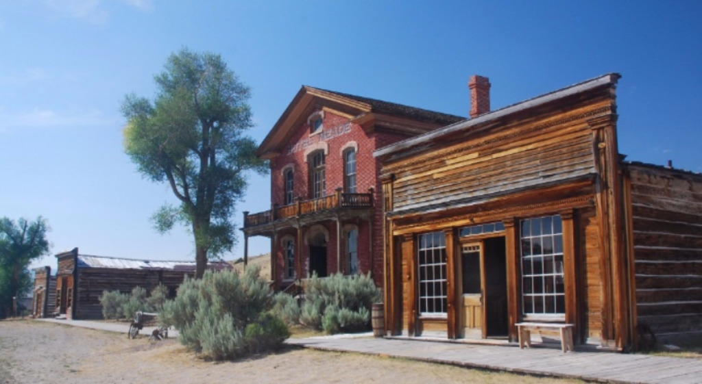
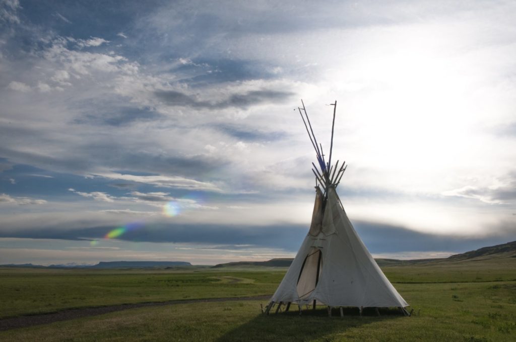
Parks That Others Are Visiting


Fort Owen State Park Read More »


")


")
")
")
")
")